
MapView#
MapView is the dedicated map workbench of pyCSAMT: a Dash/Plotly browser
application focused entirely on seeing a survey in space — basemap station
maps, profile overlays, Surfer-style contours, and interactive 3-D resistivity
scenes with fence sections, blocks, depth slices, iso-surfaces, and draped
topography. It is the point-and-click layer over the Python mapping API: everything the app draws comes from the same
MapView façade you can drive from code, so a scene you
build here can be reproduced exactly in a script.
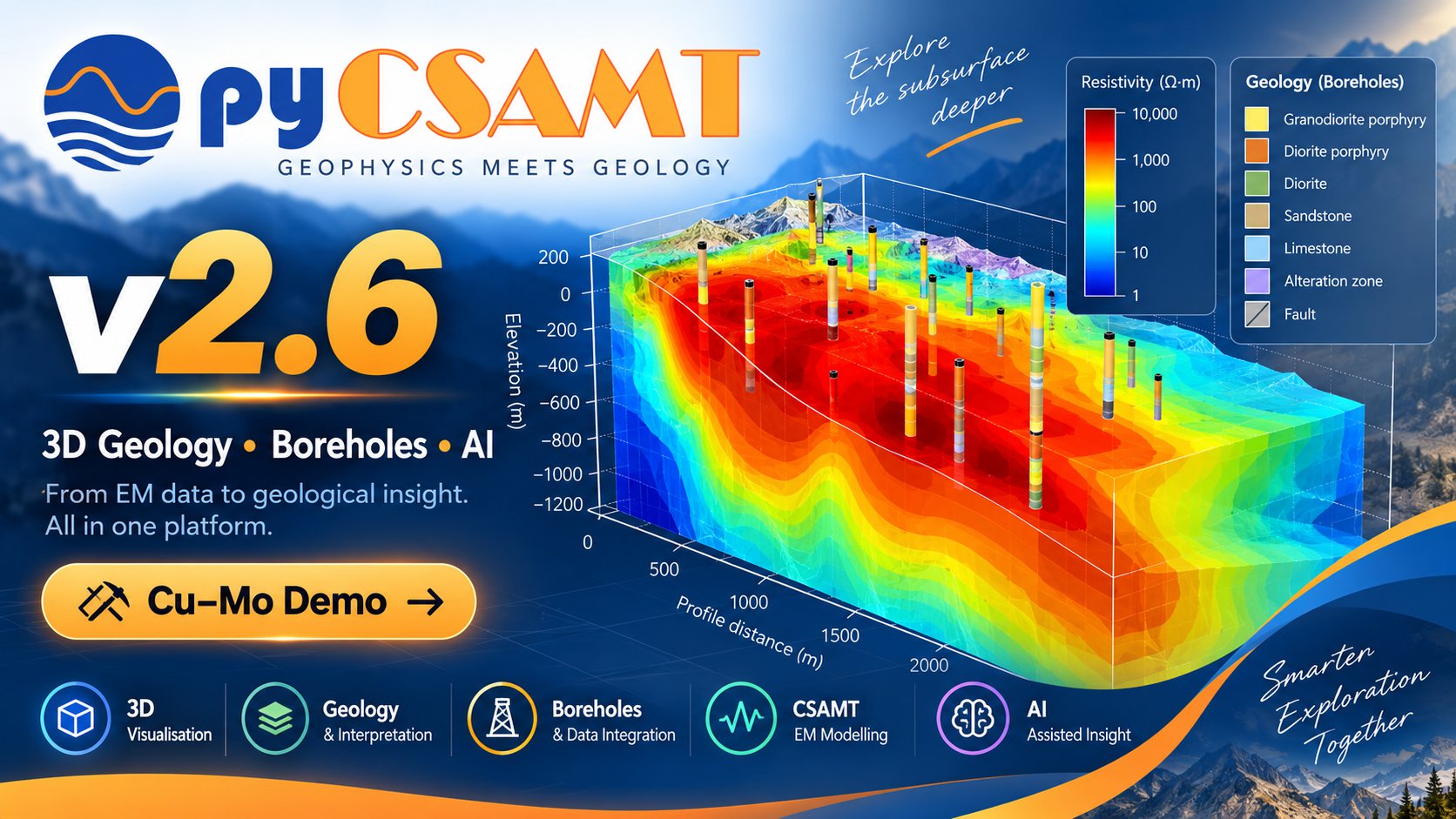
An animated tour of MapView: from the welcome screen to a survey on a basemap, Surfer-style contours, interactive 3-D fence and block scenes, isolating conductive structure, and an imported ModEM inversion model. Each control is documented on the pages below.#
Explore the Guide#
Pick a page to dive in. A good first pass, in order, is Installation → Loading & Sessions → Views & Controls → Exports → Troubleshooting.
Install the app extra, launch pycsamt-mapview, and learn the
host/port/data/debug options.
Load EDI survey lines, import ModEM inversion results, and the per-tab session cache.
The Map and 3-D views and every control in the inspector — basemaps, contours, fence/block/depth/iso.
Export the current view as interactive HTML, or reproduce it from code
with pycsamt.map.
Ports, blank 3-D scenes, coordinate systems, and large-survey performance.
When To Use MapView#
MapView is the right surface when the spatial picture is the point:
place a multi-line survey on a satellite, street, topographic, or light/dark basemap and confirm its geometry;
colour stations by index, elevation, apparent resistivity, phase, or skin depth, and drape a Surfer-style contour over the basemap;
build an interactive 3-D scene — fence panels along each line, a filled block, depth slices, or iso-surfaces — with topography and a resistivity visibility band to isolate conductive or resistive structure;
drop a ModEM 3-D inversion result into the same scene as the survey geometry and inspect the model in place.
For per-station response curves, pseudosections, QC, corrections, and modelling, use the web app or the desktop GUI. MapView deliberately does one thing — space — and does it well.
The Two Views#
Everything in MapView lives under two views, switched from the left rail:
Map — the 2-D basemap view: stations, profile lines, contour overlay, basemap, and coordinate system.
3-D — the interactive resistivity scene: fence, block, depth-slice, and iso-surface renderings with topography and depth/resistivity filters.
Both views read the same loaded survey and the same line selection, so switching between them never changes what is selected — only how it is drawn.
Run MapView#
pycsamt-mapview
The launcher starts a local Dash server on http://127.0.0.1:8770 and opens
the app in the default browser. The module form works everywhere the package
is importable:
python -m pycsamt.app.mapview
Useful launch options:
pycsamt-mapview --no-browser
pycsamt-mapview --port 8780
pycsamt-mapview --host 0.0.0.0
pycsamt-mapview --data path/to/edi_folder
pycsamt-mapview --debug
--data preloads an EDI folder (one or more survey lines) so the app opens
with the survey already on the map. See Installation And Launch for the full
option list.
Main Concepts#
Concept |
Meaning In MapView |
|---|---|
Survey lines |
Named groups of stations (one folder or filename prefix per line), toggled from the line picker; the selection applies to both views. |
View |
Map (2-D) or 3-D — the two ways MapView draws the same survey. |
Colour field / overlay |
The quantity drawn on the map: station index, elevation, apparent resistivity, phase, or skin depth. |
Contour overlay |
A Surfer-style filled/line contour draped over the basemap. |
3-D mode |
Fence, Block, Depth slices, or Iso-surface — how the 3-D scene renders the resistivity volume. |
Resistivity band |
A ρ visibility window that isolates the conductive or resistive part of the 3-D volume. |
Inversion result |
A ModEM 3-D model folder imported and shown in the survey’s own scene. |
Session cache |
Loaded data held per browser tab on the server; the app never writes into your data folders. |
See also
- Map Tools
The Python mapping layer behind the app — build the same figures from code.
- 3-D maps gallery
Executed examples of every station-map and 3-D view, with code.