
Topography#
Examples for pycsamt.topo: extracting station elevations and
chainage, validating profile geometry, draping 2-D sections over terrain,
adding compact elevation strips to pseudosections, and building robust
terrain-aware interpretation case studies.
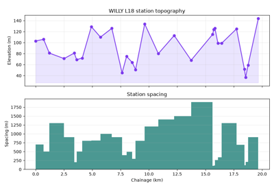
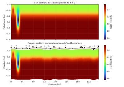
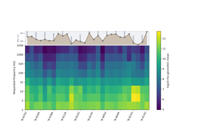
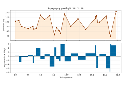
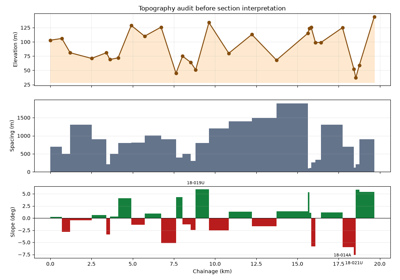
Topo case study: from station relief to interpretation panels
Topo case study: from station relief to interpretation panels